
Roaring engines, crisp air, the vast horizon stretching out before you – there’s something uniquely liberating about hitting the open road in an RV.
Yet, not all roads are created equal.
From the frosty stretches of Alaska’s Dalton Highway to the cliff-hanging turns of Colorado’s Million Dollar Highway, the U.S. is crisscrossed with routes that can give even seasoned RV drivers a real test of their nerve.
And while it’s easy to get caught up in the thrill of a new adventure, driving an RV on some of these paths can turn from exciting to dicey in a heartbeat.
From bone-dry desert highways to icy mountain passes, let’s prepare ourselves for the challenges that these iconic yet treacherous routes present.
#1: I-70 through the Rocky Mountains, Colorado
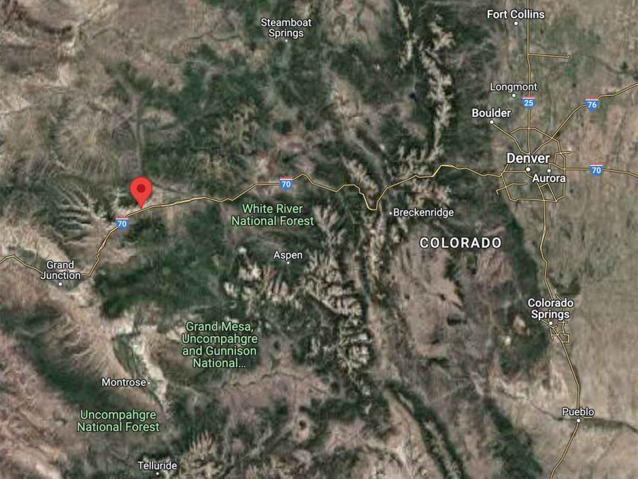
Interstate 70 (I-70), as it winds its way through the Rocky Mountains in Colorado, is both a marvel of modern engineering and a challenging and often dangerous highway. The main factors contributing to the danger are extreme topography, unpredictable weather, and high traffic volumes.
The highway’s elevation and mountainous terrain require steep grades and numerous sharp turns that can be challenging for motorists, particularly those not accustomed to mountain driving.
The Eisenhower Tunnel, one of the highest vehicular tunnels in the world, and the steep downgrade of the road immediately following it, known as the “Silverthorne Hill,” have both been sites of numerous accidents.
Additionally, I-70 in this region is a critical transportation corridor, and the high volume of traffic, including many large commercial trucks, can make for crowded and high-stress driving conditions.
The unpredictable and often severe weather in the Colorado Rockies also makes I-70 dangerous. Rapid changes in weather can lead to treacherous driving conditions, including heavy snow, ice, rain, and fog, all of which can reduce visibility and make the road slippery.
Avalanche risk is a real concern during the winter months, with avalanches occasionally blocking the highway. Despite extensive efforts by transportation officials to manage these risks, including the use of avalanche control and real-time road condition monitoring, I-70 through the Rocky Mountains remains a challenging and potentially dangerous route.
I-70 Across the Rocky Mountains (Video)
#2: Dalton Highway, Alaska
The James W. Dalton Highway, commonly referred to as the Dalton Highway, is one of the most isolated routes in the United States. It has only three towns along its 414-mile length, and parts of the road are unpaved.
The cold, harsh weather conditions can also make it particularly dangerous. It begins at the Elliot Highway, north of Fairbanks, and ends at Deadhorse near the Arctic Ocean and the Prudhoe Bay oil fields.

One of the main factors contributing to the danger is the extreme isolation. The Dalton Highway traverses some of the most remote territory in Alaska, with long stretches devoid of any services, including gas stations, hotels, or hospitals. In case of a breakdown or accident, help could be hours away. Additionally, this isolation is compounded by the harsh weather conditions.
In winter, temperatures can plummet well below zero, making any roadside emergency a potentially life-threatening situation. The highway can also become icy and treacherous, leading to extremely hazardous driving conditions.
Another major risk on the Dalton Highway is its rugged terrain. Much of the road is not paved and it features steep grades, sharp turns, and a significant amount of heavy truck traffic associated with the Trans-Alaska Pipeline System, which the highway was built to support. Wildlife crossings are also common and can pose a serious danger, especially when visibility is poor due to weather conditions or the long hours of darkness in the winter.
The few people who travel the Dalton Highway are advised to be well-prepared with survival gear and to have a firm grasp of wilderness survival skills.
Despite its dangers, the Dalton Highway offers some of the most beautiful and unique landscapes you’ll ever see. From the towering Brooks Range mountains to the vast expanses of the North Slope, it’s a place of untouched wilderness beauty. But anyone planning to drive this road should be well-prepared and understand the risks involved.
#3: US Route 6, Nevada
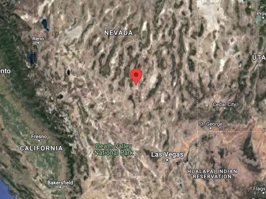
U.S. Route 6 in Nevada, often referred to as “the loneliest road in America,” is notorious for its potential dangers that stem primarily from its remote and isolated nature. The road stretches hundreds of miles across vast, barren landscapes, with few towns or services along the way.
This means drivers can find themselves in very isolated situations where, in the event of a vehicle breakdown or emergency, help could be far away. The isolation is further compounded by sporadic and unreliable cell service in some areas.
Additionally, the extreme environmental conditions in this part of Nevada make Route 6 particularly hazardous. With scorching temperatures in the summer and icy conditions in the winter, unprepared motorists can quickly find themselves in life-threatening situations.
The road itself can be challenging, with long, straight stretches that can lull drivers into inattention or encourage excessive speed, combined with occasional sharp turns and steep grades. Moreover, the lack of regular traffic and the long distances between locations can lead to fatigue and decreased alertness, which can increase the risk of accidents. Hence, Route 6 demands cautious driving and thorough preparation.
The Loneliest Road in America (Video)
#4: I-15 from Las Vegas to Los Angeles
Interstate 15 (I-15), the major highway connecting Las Vegas, Nevada, and Los Angeles, California, can be quite dangerous for several reasons. The highway is heavily trafficked, often by people who are on vacation or heading to Las Vegas for the weekend. The high traffic volume, combined with the impatience and excitement of people eager to reach their destinations, can lead to aggressive driving behaviors and high speeds, increasing the risk of serious accidents.
Furthermore, the highway is often congested, particularly on weekends and holidays, leading to traffic jams that can frustrate drivers and contribute to road rage incidents.
Another significant factor that makes I-15 dangerous is the Mojave Desert environment through which it passes. The desert can reach extremely high temperatures, leading to an increased risk of tire blowouts and overheating engines.
This can leave drivers stranded in a harsh and unforgiving environment. In contrast, the desert can also become surprisingly cold at night, and flash floods can occur during periods of heavy rain, making the highway slick and visibility poor.
These varied environmental conditions require drivers to be prepared and cautious to ensure their safety while traveling on I-15 between Las Vegas and Los Angeles.
Angry Drivers on I-15 (Video)
#5: State Route 58 in California
Known as the Bakersfield Tehachapi Highway, this route has steep grades and sharp turns, making it a hazardous route for truckers.
California State Route 58 (SR 58) stretches over diverse terrains, offering a mix of urban and rural driving experiences. Although it’s an essential highway that provides a vital link across the southern part of Central California, certain sections can pose challenges to drivers, leading to its reputation as being potentially dangerous.
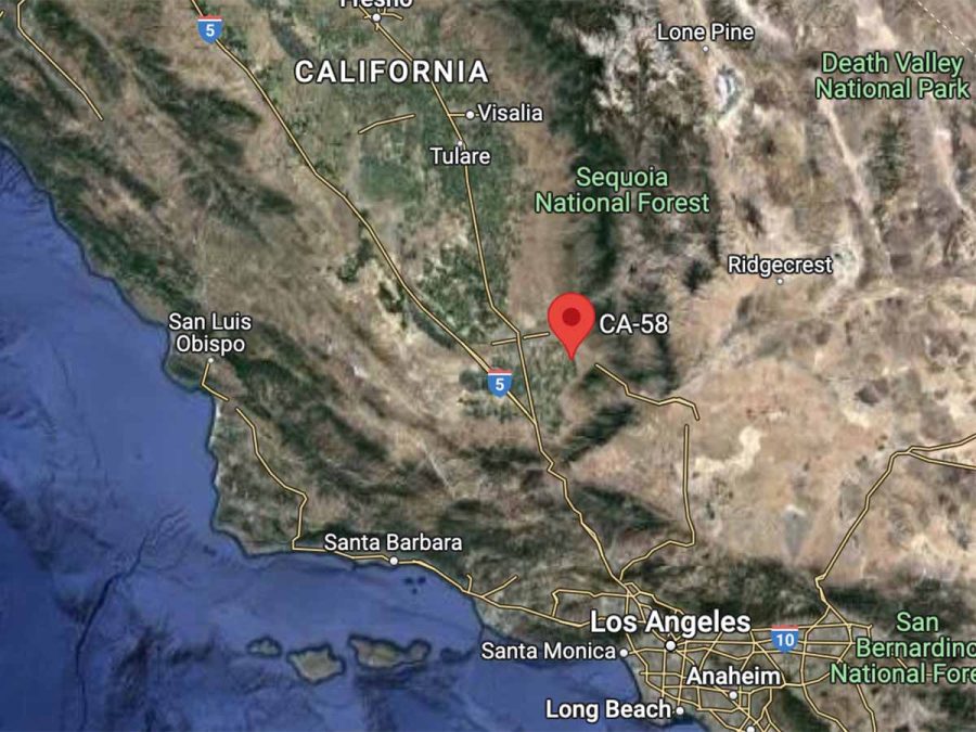
One significant reason for the danger is the wide variation in driving conditions. In urban sections, especially around Bakersfield, traffic can be heavy, leading to high-speed collisions. The freeway segment in Bakersfield is notably dense, with numerous exits and onramps within close proximity, which can contribute to accidents.
Beyond urban areas, SR 58 traverses remote sections of the Mojave Desert. These stretches are less populated and can be desolate, often with long distances between services. In these areas, drivers face different dangers, such as harsh weather conditions, including high winds and intense heat, and wildlife on the road. Fatigue can also be an issue on these lengthy, sometimes monotonous stretches.
The highway also crosses the Tehachapi Mountains, which poses its own challenges. The road in this section is winding, and it can be difficult to navigate, especially in inclement weather. Snow and ice can make this section particularly dangerous in winter months.
#6: US-550 in Colorado, Also Known as Million Dollar Highway
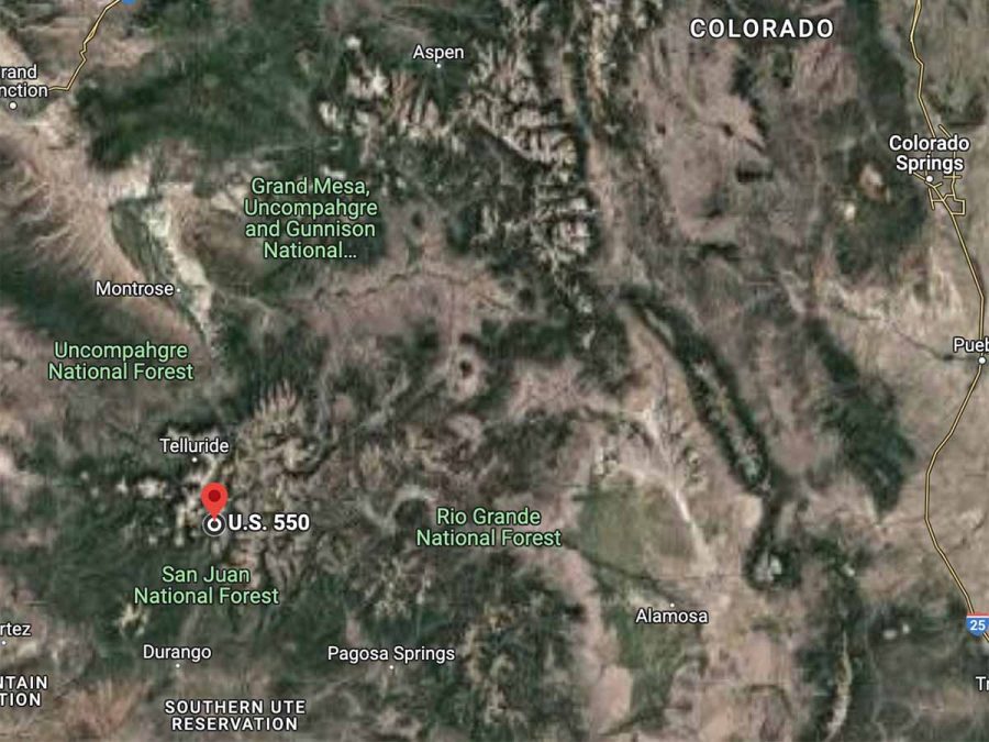
U.S. Route 550 in Colorado, commonly known as the Million Dollar Highway, is both breathtaking and perilous. The section between Silverton and Ouray, in particular, is renowned for its stunning views but also for its hazardous driving conditions. This stretch is characterized by narrow lanes, steep cliffs, and a lack of guardrails, making it treacherous, especially for those unaccustomed to driving in such conditions.
Furthermore, the road is twisty and winds through the mountains with numerous hairpin turns. During the winter months, this area can become especially dangerous due to snow and ice, which can make the road slick and reduce visibility.
Adding to the inherent danger of the route is its altitude. The road crosses several high mountain passes, including Red Mountain Pass, which sits at an elevation of over 11,000 feet. At these high altitudes, weather conditions can change rapidly, and thin air can also affect some people physically, causing altitude sickness.
The combination of the road’s demanding terrain, high altitude, and often severe weather conditions contribute to the Million Dollar Highway’s reputation as one of the most dangerous roads in the United States. Drivers are advised to proceed with caution, ensure their vehicle is in good working order, and be prepared for rapidly changing weather conditions.
The name “Million Dollar Highway” sounds fancy, doesn’t it? There are a few theories behind how it got its name. Let’s look at the two most popular ones.
- The road’s construction cost – One story suggests that the name came from the cost of building the highway in the 1920s. Back in those days, a million dollars was a massive amount of money, especially for road construction. Some say that when the road was built, it was one of the most expensive roads per mile. Hence, the name.
- The value of the fill dirt – Another theory relates to the material used to construct the road. Some believe that the dirt used to build the road was rich in gold ore. So, the fill dirt used during construction was worth a million dollars, or maybe even more.
Regardless of the exact reason, the name is fitting for a highway that offers million-dollar views. This stretch of road, with its breathtaking views of the San Juan Mountains, deep canyons, and lush forests, is widely considered one of the most beautiful drives in the U.S.
Driving Colorado’s Million Dollar Highway (Video)
#7: I-95 along the East Coast
Interstate 95 (I-95), the main interstate highway on the East Coast of the United States, stretches approximately 1,920 miles from Miami, Florida, to Houlton, Maine. While it is a vital transportation artery connecting many of the East Coast’s major cities, it also has a reputation for being dangerous due to a variety of factors.
One significant reason is the sheer volume of traffic. I-95 is one of the busiest highways in the U.S., accommodating a mix of local, long-distance, and commercial traffic. This volume, combined with the varying speed limits and driving styles, can lead to congestion and aggressive driving behavior, increasing the risk of accidents. Furthermore, the highway passes through numerous densely populated urban areas, such as Miami, Washington D.C., the outskirts of Philadelphia, Newark, and Boston, where traffic can become particularly heavy and complex.
Another factor contributing to the highway’s danger is its length and varying conditions. The road conditions along I-95 can change dramatically, from smooth, well-maintained sections to areas with poor signage, sudden lane changes, or construction work. Additionally, the highway’s length exposes drivers to a wide range of weather conditions, from heavy snow and ice in the northern states during winter to intense rain and even hurricanes in the southern states.
These varying conditions demand constant vigilance and adaptability from drivers, making I-95 a challenging and potentially hazardous route.
#8: Highway 2, Montana
Highway 2 in Montana, which stretches across the northern part of the state, is considered dangerous due to a combination of factors. This rural two-lane highway traverses isolated terrain, leading to potential delays in emergency response times in case of accidents.
It’s also frequented by large commercial vehicles and agricultural equipment, which can pose hazards, particularly given the lack of passing lanes in certain stretches.
The unpredictable weather, with severe winter conditions causing ice and snow build-up, further contributes to the highway’s risk. These challenges demand vigilance and patience from drivers to ensure their safety on this road.
Traveling Montana’s U.S. Highway 2 (Video)
#9: I-10 in Arizona
Interstate 10 (I-10) in Arizona, a major east-west interstate that crosses the southern part of the state, is considered dangerous due to several factors. The highway is a significant transportation corridor with high traffic volumes, including a large number of commercial vehicles.
The mix of passenger vehicles and heavy trucks, often moving at high speeds, can increase the risk of serious accidents. Furthermore, certain stretches of the I-10, particularly in the Phoenix and Tucson metro areas, are often congested, and the combination of heavy traffic and high speeds can lead to dangerous driving conditions.
Another key factor contributing to the I-10’s hazardous reputation is the extreme weather conditions common in this part of Arizona. High temperatures during the summer can lead to overheating vehicles, tire blowouts, and fatigued drivers, all of which can result in accidents.
Dust storms, also known as haboobs, are another significant hazard in Arizona. These storms can reduce visibility to nearly zero in a matter of seconds, making driving extremely dangerous. Sudden, heavy rains can also occur, particularly during the monsoon season, which can cause flash flooding and make the roadway slippery.
Consequently, travelers on I-10 in Arizona are advised to stay alert to changing weather conditions and be prepared for possible challenges.
#10: US-24 Fort Wayne to Toledo
U.S. Route 24, stretching from Fort Wayne, Indiana to Toledo, Ohio, can be dangerous due to several factors. This highway sees a high volume of both commercial and passenger vehicle traffic, leading to frequent congestion. The mixture of slow-moving large trucks with faster passenger cars can create risky passing situations and the potential for severe accidents.
Furthermore, parts of this route, particularly in rural areas, have been notorious for lack of adequate lighting and signage, and the absence of median dividers, increasing the risk of head-on collisions.
The highway also experiences a range of weather conditions, from heavy snow in winter to intense storms in summer, which can result in hazardous driving conditions.
#11: I-40 in North Carolina
Interstate 40 (I-40) in North Carolina, especially the section that runs through the mountains, is considered dangerous due to a combination of high traffic volumes, challenging terrain, and volatile weather conditions.
The highway frequently experiences heavy traffic, including a significant number of large trucks, which can increase the risk of collisions. The mountainous section includes steep grades and sharp curves that can be particularly difficult for inexperienced drivers or those unfamiliar with the terrain.
In addition, the region can be subject to sudden and severe weather changes, including fog, heavy rain, and in winter, snow, and ice, all of which can significantly impact road conditions and visibility, thereby increasing the potential for accidents.
#12: Highway 17 in South Carolina
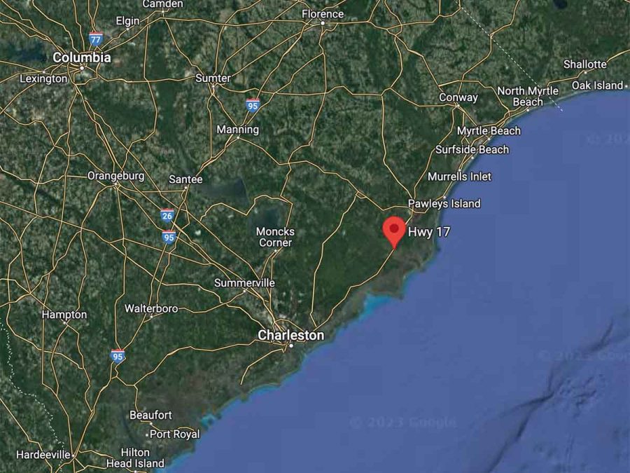
Highway 17 in South Carolina, which stretches from the North Carolina border to Savannah, Georgia, is considered one of the most dangerous roads in the state due to a combination of high traffic volume, frequent intersections, and varying road conditions.
The highway is used by both local traffic and tourists heading to coastal destinations, leading to congested conditions and a mix of driving behaviors. With many intersections and driveways along the route, especially in urban areas, the risk of accidents is heightened due to vehicles turning or entering the highway.
Additionally, the highway’s conditions can change significantly along its length, from multi-lane expressways to two-lane rural roads, requiring constant vigilance and adaptability from drivers.
Poorly lit sections, lack of median barriers in certain stretches, and severe weather conditions during the hurricane season further contribute to the hazards.
#13: I-5 in California
Interstate 5 (I-5) in California is one of the state’s busiest and most dangerous highways due to a combination of high traffic volumes, long stretches of road with little variation, and a wide range of weather conditions.
The highway extends from the U.S.-Mexico border to the U.S.-Canada border, cutting through major urban areas like Los Angeles and Sacramento. This leads to a high level of congestion, which, coupled with high speeds, can result in severe accidents.
Want to Connect With a Community of Over 1,078 RV Enthusiasts?
Furthermore, the monotony of the highway, particularly in the Central Valley, can lead to driver fatigue and inattention.
Lastly, I-5 traverses various climate zones, exposing drivers to foggy conditions in the Central Valley, heavy rain in the northern part, and extreme heat in the southern part, all of which can contribute to hazardous driving conditions.
#14: Highway 31 in Alabama
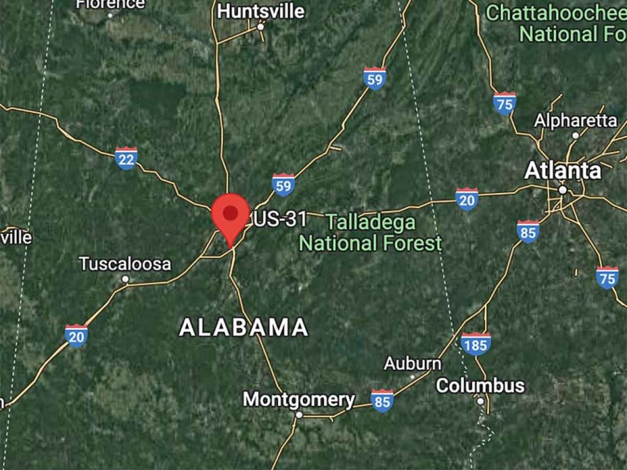
Highway 31 in Alabama, a major north-south route in the state, has a reputation for being dangerous due to a combination of heavy traffic, high speeds, and challenging road conditions.
It carries a mix of local and through traffic, including commercial trucks, leading to frequent congestion. The road itself varies in design and condition along its route, with certain stretches being prone to sudden lane changes, poor signage, and difficult merges.
Furthermore, it traverses both urban and rural areas, meaning drivers must adapt to changing environments and hazards, such as pedestrians, cyclists, and wildlife.
Inclement weather conditions, common in Alabama, can also make driving more challenging and contribute to the risk of accidents on Highway 31.
#15: Highway 550 in New Mexico
Also known as the “Black Ribbon,” this highway has sharp curves and steep cliffs that can be dangerous, especially in inclement weather.
Highway 550 in New Mexico is known to be particularly hazardous due to a combination of factors, including high speeds, heavy traffic, and challenging road conditions.
A significant portion of the highway is a long, straight road where drivers can easily attain high speeds. At higher speeds, the likelihood of fatal accidents increases because the impact is harder, and drivers have less time to react to hazards.
Moreover, Highway 550 is a major thoroughfare for commercial traffic. The mix of large commercial vehicles with passenger cars can create dangerous situations, particularly because large vehicles take longer to stop and can cause significant damage in collisions.
The highway also lacks a physical divider in many sections, increasing the risk of head-on collisions. This risk is exacerbated by the challenging weather conditions the region can experience, particularly in winter months when the roadway can become icy and treacherous.
The highway’s relative isolation, which means help can be far away if an accident happens, and the potential for wildlife crossings add further to the list of risks drivers face on Highway 550 in New Mexico.
U.S. Highway 550 (Video)
Conclusion
In the end, navigating through America’s most dangerous roads in an RV requires a combination of preparedness, respect for the conditions, and keen driving skills.
It’s important to stay updated on weather forecasts, understand the specific demands of your vehicle, and be aware of the unique challenges each route presents.
Always remember, the goal is to enjoy the journey and safely reach your destination.
So, before you rev up your RV, double-check your preparations and ensure you’ve done your research.
With the right approach, even the most daunting roads can be tackled safely.
After all, your adventures on the open road should be memorable for all the right reasons.
Related Questions
1. What makes a road dangerous for RV driving?
Several factors can make a road dangerous for RV driving. These include poor road conditions, steep gradients, narrow lanes, sharp turns, high traffic volumes, and inclement weather conditions. The size and weight of an RV can also add to the challenge, as it requires longer stopping distances and careful maneuvering.
2. How can you prepare your RV for a trip on a potentially dangerous road?
Before hitting the road, it’s crucial to inspect your RV thoroughly. Check the tire pressure and tread, ensure your brakes are functioning properly, and confirm that all lights and signals are working. Also, plan your route in advance, taking into consideration the road conditions and weather forecasts. Carry essential supplies, including a first-aid kit, spare tire, tool kit, and adequate food and water.
3. Are there any specific driving techniques for handling an RV on dangerous roads?
Yes, driving an RV on dangerous roads often requires specific techniques. These include reducing speed, maintaining a safe following distance, using low gears on steep declines, and being extra cautious on sharp turns. Also, remember to take regular breaks to avoid fatigue and ensure your concentration stays sharp.
4. What are some of the most dangerous roads in the U.S. for RV travel?
Some particularly dangerous roads for RV travel include I-70 through the Rocky Mountains in Colorado, the Dalton Highway in Alaska, US Route 6 in Nevada, I-15 from Las Vegas to Los Angeles, and the Million Dollar Highway in Colorado. These roads present challenges such as steep grades, harsh weather, high traffic volumes, and sharp turns.
5. How can you stay updated about road conditions during your RV trip?
Staying updated about road conditions is essential for safe RV travel. You can use navigation apps, weather apps, and traffic news updates to keep track of road conditions and weather forecasts. Also, many state transportation departments have websites or hotlines that provide real-time updates about road conditions. Regularly check these sources throughout your trip.


")
"Man cannot discover new oceans unless he has the courage to lose sight of the shore."
-- Andre Gide


")
